
Tracing an Oroville Street
A street directory search works best as a chain of records, not as a single name box. Begin with the exact Oroville address and let the Butte County Assessor identify the parcel record that belongs to it. The Oroville situs label points to the physical location, while the legal description and APN give an Oroville address a stable county identity. From there, the Oroville map, deed index, voter access rules, and older directory pages answer separate questions. An Oroville address may point to an owner connection without proving that the owner lives there, and no public source supplies a complete list of everyone in an Oroville household.
- Start with the address. Use the county parcel search by street address or APN and save the APN, property status, situs, abbreviated legal description, values, and exemption fields shown for the match.
- Anchor the parcel. Open the same address or APN in county GIS, zoom to the street segment, and check the city-limit, jurisdiction, zoning, flood, permit, and code layers.
- Follow the owner trail. Search the Clerk-Recorder index by grantor or grantee, date range, document number, document type, and legal or APN reference, then obtain the underlying instrument when the index points to one.
- Use the voter route with care. My Voter Status authenticates a voter to that person’s own record. A broader voter-file request needs a qualified purpose and an application under California rules.
- Check past occupants. Move from a street name and house number to reverse or criss-cross directory pages, then compare the entry with deeds, census material, obituaries, or permits before calling it a household match.
Note: The strongest street trail keeps the APN, legal description, source date, and document number beside every name clue.
Oroville Records by Address
Different custodians describe different parts of an Oroville street. The Assessor supplies Oroville parcel and situs context, GIS supplies Oroville spatial relationships, and the Recorder supplies named parties in recorded instruments. City and county permit offices depend on Oroville jurisdiction. Elections access is purpose-limited, while historical directories describe people associated with an Oroville place at the time of compilation. The result is a useful Oroville address trail, not a current resident roll.
| Record Set | Keeper | What It Shows | Access |
|---|---|---|---|
| Secured roll and parcel detail | Butte County Assessor | APN, status, situs, legal shorthand, values, exemptions | Free APN or address search, office fallback |
| Parcel and land-use map | Butte County GIS | Touching parcels, jurisdiction, zoning, flood and planning layers | Free map viewers and attribute tools |
| Recorded deed and index | Clerk-Recorder | Grantor, grantee, recording reference, legal description | Free index, paid image or certified copy |
| Permit and code file | Oroville or Butte Development Services | Address or APN applications, cases, applicants, public documents | Portal, counter, or focused request |
| Voter record route | County Elections and California SOS | Self-status or approved-purpose registration fields | Authenticated lookup or qualified application |
| Reverse directory | Butte County Library and CSU Chico | Historical occupant, occupation, spouse, house number, abbreviations | Free scans, OCR, branch and staff help |
| Tax collection record | Treasurer-Tax Collector | APN-linked bill, payment, or delinquency information | Online or counter access as available |
The APN is the bridge. It moves a search from address to parcel, from parcel to legal description, and from that description to a prior instrument. A mailing address can differ from the situs, and a directory entry can describe an occupant without showing title. An Oroville street directory should label those distinctions when it compares a deed or voter record.
Butte Assessor Search Fields
The Butte County parcel search offers two starting keys for an Oroville parcel. An APN is useful when an Oroville map, deed, or older file already supplies it; a street address is the better first move when the Oroville street is known but the parcel number is not. The public description does not promise an unrestricted owner-name or owner-mailing-address search, so an Oroville address result should never be presented as proof of current occupancy.
| Field label | Type | Required | Format or use |
|---|---|---|---|
| Assessor Parcel Number | Text | Alternative | Book-Page-Parcel components, such as 036-011-015 |
| Street Address | Text | Alternative | Use the situs address; vacant parcels may lack one |
| Search | Button | Required after a key | Submits the parcel lookup |
A parcel detail can show APN, Property Status, Situs Address, an abbreviated Legal Description, Land Value, Improvement Value, Exemption Amount, and Total Assessed Value. The map-book example 036-011-015 means Book 36, Page 01, Parcel 15. Assessor maps are tax-purpose representations that change with subdivisions and recorded surveys, so a title conclusion belongs to the recorded instrument, not the tax card.
- Parcel
- An Oroville tax and map unit identified by an APN, not a list of every person at the location.
- Situs address
- The Assessor’s physical-location label, which may differ from a mailing address and does not prove occupancy.
- Plat
- A recorded map that shows lot, parcel, or subdivision lines used with the legal description.
- Criss-cross directory
- A historical directory organized by Oroville street and house number, not a current official resident roll.
The Butte County Assessor office provides the public contact path when a web result is incomplete or a parcel needs staff clarification.
The manifest's Assessor source capture shows the public address-search entrance:
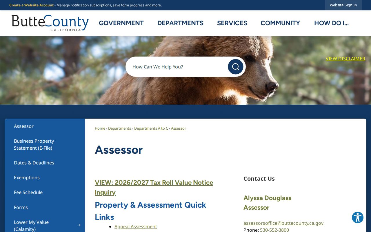
The Assessor source is a sound first image for an Oroville street directory because it shows where address research begins. For a missing owner field, keep the APN and move to the Recorder or a focused request instead of guessing from the situs. The parcel-search detail remains the proper starting reference.
Oroville GIS Street Browsing
Butte County GIS viewers add the spatial layer that an assessor result cannot. Search by address or APN, browse a street segment, and inspect the jurisdiction before choosing a city or county permit custodian. The parcel service publishes fields such as APN, alternate ID, supervisor district, jurisdiction, parent map and APN, update date, Book-Page-Parcel, owner and mailing fields, situs, acres, tax code, land use, and coordinates. Those fields are useful leads, not survey-grade boundaries or a complete household file.
| GIS control | Type | Required | What it does |
|---|---|---|---|
| Address | Autocomplete or text | Alternative | Locates a mapped address |
| APN | Text | Alternative | Locates a parcel directly |
| Layer list | Checkboxes | No | Turns parcels, city limits, zoning, flood, permit, code, and land-use layers on or off |
| Zoom, pan, identify | Map controls | No | Browses the street and opens features at a point |
| Basemap and legend | Map controls | No | Provides geographic context for the active layer |
The underlying Butte parcel layer supports query and export formats, with a maximum query return of 2,000 features. The consumer viewer offers Search, Legend, Layer List, Select, Attribute Table, scale, coordinates, print, and basemap controls.
The manifest's parcel-layer source capture shows the map-service fields:
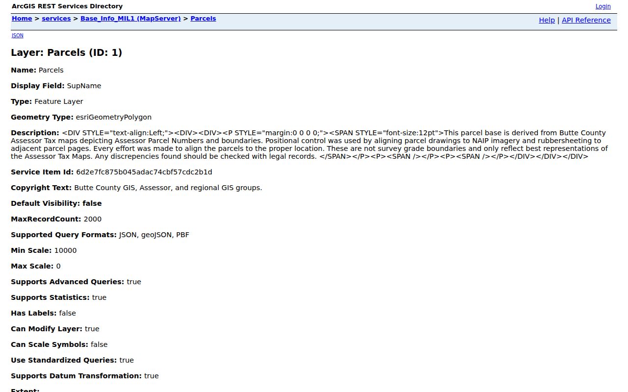
That parcel-layer view makes the street-by-street method concrete: locate one parcel, inspect the map fields, and choose the source document that can support the claim. The county viewer catalog supplies the surrounding map context.
Adjacent Oroville Parcels
For a block search, the defensible method is manual. The research inventory documents identify, query, zoom, pan, and click tools, but it does not document a consumer radius or buffer command. Zoom until parcel edges are clear, click each touching polygon, and write down its APN before opening a separate assessor detail.
Address to APN to map to touching APNs to assessor detail to source document.
Run each adjacent APN through the same address record chain. Compare situs, legal shorthand, jurisdiction, and update date. Do not infer an occupant from an owner mailing field, an exemption amount, or a nearby name. Parcel polygons support research context and may not match a survey. A narrow set of touching parcels is more reliable than a guessed street radius, especially where a road, creek, public tract, or rural lot interrupts the block.
Note: A parcel neighbor is a spatial relationship, while a resident neighbor is a separate conclusion that public records may not support.
Oroville Deeds by Legal Description
The Butte County Clerk-Recorder Self-Service index is a party and document lead, not the deed itself. Accept its disclaimer, search the grantor and grantee sides, try punctuation and middle-initial variants, and narrow by recording date or document type. The accessible landing page does not state an exact first online year. A session may time out, and a search result still needs an image or certified copy before it can support a title statement.
The Recorder’s counter is at 155 Nelson Avenue in Oroville. An online copy order requires the party name and Document ID. Research materials list counter charges of $3.50 first page and $1.50 each added page, with certification at $3 plus $1 per added page. The separate online route lists $5 first regular page, $2.50 each added page, $10 first certified page, $2.50 each added page, and $12 digital. For older series not exposed online, the Clerk-Recorder and Archives contact is the fallback. Verify the route and current charge with the custodian.
Read the legal description and grantor, then search that party backward as an earlier grantee. When a subdivision or APN split appears, use the recorded map and parent parcel to keep the chain aligned. The deed index links a person to a transaction; assessor and GIS supply the parcel identity.
Permits Along Oroville Streets
Permit access follows jurisdiction. City-created files start with the Oroville City Clerk public-record channel, while incorporated applications use the Public Works permit page, its portal, or paper forms at City Hall, 1735 Montgomery Street. The city covers engineering applications, encroachment, frontage, lot-line, parcel-merger, erosion-control, sewer, transportation, and flood-elevation work. A General Application is required, and the page states a six-percent technology fee under Municipal Code section 17.08.130.
For an unincorporated Oroville-postal parcel, the county’s address and APN instructions use “Address” or “Parcel Number.” Omit street or road words and abbreviations, then scroll to Parcel Info and choose “View Public Property Documents.” Multiple documents may be bundled under an APN.
County building documents generally do not exist before 1962. Development Services can confirm a file at 530-552-3700 or dsbuilding@buttecounty.net; water and sewer records go to Environmental Health at 530-538-7281. Oroville code enforcement complaints can be emailed to Code-Violation@cityoforoville.org or delivered to City Hall, while parking-law issues go to Oroville Police at 530-538-2448. A blank result is not proof that work never occurred.
Note: Match every permit result to the city or county jurisdiction first because an Oroville mailing city does not choose the permit custodian.
Oroville Postal Jurisdiction
Postal geography is a common trap in an Oroville street directory. The principal delivery ZIP codes are 95965 and 95966, but neither is an incorporated-city boundary. County material places Thermalito in 95965 and associates Kelly Ridge, East Oroville, South Oroville, and Wyandotte with 95966. Palermo uses 95968 nearby. An Oroville mailing line can therefore point to a county-served parcel rather than a city record.
Verify a standardized delivery address with the USPS address-to-ZIP tool, then use county GIS and the Oroville district map to decide whether the city permit route or county Development Services route applies. USPS, assessor situs, owner mailing address, and legal description are four different labels. A PO box or different mailing ZIP does not change parcel identity, and a ZIP-wide resident roll is not documented in county portals.
Reverse Directories in Oroville
The Butte County Library genealogy page is the practical access point for older street evidence. Its partnership with CSU Chico links digitized Butte County directories, obituary and newspaper requests, pre-1905 death material, and later death-index resources. The first local directory appeared in 1881. The scans include 1881, 1898, 1904-05, 1907, 1909-16 with gaps, and selected Polk volumes through 1950. Missing years include 1882-1904 except separately held 1898 and 1904-05 volumes, plus 1917, 1919, 1920, and 1925.
Alphabetical entries often give an Oroville name, spouse, occupation, business connection, home address, and householder or widow mark. Reverse pages change the key to Oroville street and house number. “r” can mean resides, “h” householder, and “wid” widow, but meanings vary by publisher. OCR is a finding aid. Read the scan, title page, and abbreviation key before treating an Oroville result as evidence.
An 1881 Oroville page records miners, farmers, laborers, carpenters, merchants, a jailer, physician, notary, hotel driver, water-works agent, dressmaker, milliner, musician, saloon keeper, and engineers. A 1933 page shows spouse names, rear-house notation, business phones, and entries at 418 Flume grouped by address. These are historical associations, not current resident claims. An older Oroville street directory needs the full year-by-year shelf and reading method kept with the Oroville Directory Book.
Oroville Parcel Map Numbers
Book-Page-Parcel numbering is a useful local bridge. APN 036-011-015 maps to Book 36, Page 01, Parcel 15, connecting assessor detail, GIS, recorded map, and deed search. A legal description may instead use a lot and block, subdivision, or metes-and-bounds language. Preserve the exact source form, including zeroes and punctuation.
Butte County was created on February 18, 1850, its seat moved to Oroville in 1856, and present limits were set in 1923. Older street evidence may use mining-camp, river, ranch, township, or place-name language rather than a numbered street. Historical maps can bridge the words, but the legal description remains the anchor.
After a parcel split, rural readdressing, or disaster rebuilding, a recent mailing address is less durable than the APN and legal description. Keep old and new forms together, then compare assessor, map, deed, permit, and directory dates. For family and building context outside formal indexes, city museum collections and contacts can be a research lead, not a resident roll.
Note: An APN preserves parcel identity across many research systems, but it does not turn every parcel record into proof of residence.
Oroville Street Records Omit
An Oroville street directory cannot show every person who passes through, receives mail, shares a room, shares a home, or uses an Oroville address without appearing in a public record. The county search does not advertise unrestricted owner-name browsing. The assessor’s situs and exemption fields are not a household census. Utility customer lists are not a public substitute, and DMV address information is restricted by the federal Driver’s Privacy Protection Act.
California voter information is purpose-limited. My Voter Status is self-authenticating, while a file request under Elections Code section 2194 and 2 CCR sections 19001-19012 is limited to approved purposes. Safe at Home protections under Government Code sections 6205 and following, including deed-related protections under section 6209.5, and confidential registrations can keep a person out of ordinary address research. A CPRA request can seek an identifiable record, but exemptions, redactions, and segregable portions still apply; the county public-record request channel is the fallback for county-created material.
Lawful use. Oroville address records are for personal, lawful research. California Penal Code section 646.9 and related remedies do not permit stalking, threats, repeated unwanted contact, surveillance, or intimidation.
When the question shifts from everyone associated with a street to one person who must be checked across separate sources, use the Oroville resident lookup workflow and keep the source limits in view.