
Oroville ZIP Coverage at a Glance
Oroville's principal delivery map has two core Oroville ZIP areas and a nearby Palermo zone, but these are not three slices of the incorporated city. The table pairs delivery identity with the postal facility and the local caveat that matters when a record search crosses a line. A ZIP code is a routing key, so each row is a starting point rather than a resident roll.
| ZIP | Areas Covered | Post Office | Notes |
|---|---|---|---|
| 95965 | Central and west Oroville; Thermalito | Oroville Post Office, 1735 Robinson St, 95965-9998 | Crosses the incorporated line; some addresses are county-served. |
| 95966 | East and south Oroville; Kelly Ridge; South Oroville; Wyandotte | Ophir Post Office, 2359 Myers St, Suite D, 95966-9998 | Postal identity does not establish an incorporated Oroville address. |
| 95968 | Palermo, immediately south of the wider Oroville service area | Palermo Post Office, 7390 Lincoln Blvd | Nearby delivery identity with its own community and county context. |
| 95916 / 95940 / 95941 | Berry Creek, Feather Falls, and Forbestown | Not Oroville delivery stations | Wider Butte County communities, not Oroville city ZIPs. |
Thermalito is associated with the 95965 service area. County sources place Kelly Ridge and South Oroville in the 95966 area, while Wyandotte and destinations around Lake Oroville and Bidwell Canyon can share that delivery identity. Palermo uses 95968. Berry Creek, Feather Falls, and Forbestown illustrate the wider county distinction: county offices may serve them from Oroville even though their postal communities are different. The post office listed in a mailing line therefore helps route a letter, but it does not answer which government keeps a permit, parcel, or city file.
How 95965 Serves Oroville and Thermalito
95965 is the main central and west Oroville delivery area in the local record trail. The Oroville Post Office is at 1735 Robinson St and uses the published ZIP+4 form 95965-9998. Thermalito appears in county material as a 95965 service zone, yet the postal label does not turn Thermalito into an incorporated city district. A county parcel, a city district, and a delivery route can all describe the same general area with different boundaries.
That distinction changes the next search step. A parcel that mails as Oroville may belong in Butte County Development Services rather than an Oroville permit system. A city-created agenda or contract belongs with the Oroville City Clerk, while a deed or map belongs with the Butte County Clerk-Recorder. The official Oroville district map can help separate municipal districts from postal geography, but county parcel GIS remains the better check for an APN and legal boundary.
Note: The 95965 mailing label can point toward Oroville service counters without proving that the parcel lies inside the city boundary.
95966, Ophir, and South Oroville
95966 carries a different local pattern. The Ophir Post Office is at 2359 Myers St, Suite D, with the published ZIP+4 form 95966-9998. Official county references associate this delivery area with Kelly Ridge and South Oroville, and local tourism material also places Lake Oroville and Bidwell Canyon destinations within the same postal identity. East Oroville, Kelly Ridge, and Wyandotte are useful research labels, but they are not interchangeable with an incorporated boundary or a county permit district.
For a person or family-history question, keep the delivery label and the record custodian side by side. The assessor starts with a street address or APN. GIS can show city limits, parcel lines, planning layers, and the relevant supervisor district. A deed search then follows a named party and legal description. None of those systems promises a complete list of people at every 95966 address. The distinction protects against treating a PO box, owner mailing address, or county service address as proof of where a person lives.
South Oroville also shows why neighborhood names should be preserved in notes. A directory search can start with 95966, then narrow to a street, APN, or public record number. Keep the original spelling and mailing line before translating it into a city or county category. That small habit helps when a historical address uses a place name that no longer matches a current postal form.
Finding Oroville Residents by ZIP Code
A ZIP-wide county resident filter is not documented in the Butte County assessor, recorder, GIS, or voter sources. The practical method is address-led: verify the delivery line, identify each parcel, then use the record system that matches the question. A mailing area can narrow a research project, but it cannot create a public household roll.
- Confirm the complete delivery address with the USPS lookup, including the city line and ZIP+4 when it is returned.
- Search the county assessor by street address or APN. Save the parcel number, situs, abbreviated legal description, and status fields.
- Open the parcel in county GIS. Check the city-limit, address, planning, zoning, permit, code, and land-use layers for jurisdiction.
- Use a recorder index, court name search, historical directory, or other source only after the address and record custodian are clear.
Once a verified address narrows the area, the Oroville street directory workflow can follow the street-level parcel and deed trail. The ZIP step comes first because it prevents a Palermo, Thermalito, or Kelly Ridge address from being silently counted as the same kind of city record.
Verify an Oroville ZIP Code With USPS
USPS is the right first check for a particular mailing address. Its lookup can confirm the standardized delivery city, ZIP, and ZIP+4 returned for the address entered. That result should be copied exactly before a researcher compares it with an assessor situs, a city district, or a county parcel. The USPS answer describes delivery, not title, residence, or municipal jurisdiction.
The distinction matters at the edges of Oroville. The Oroville and Ophir stations use different delivery identities, and Palermo has its own post office even though a nearby parcel may have Oroville institutional ties. A ZIP+4 is more precise than the five-digit route, but it still does not act as a public list of people. Use the standardized line to find a custodian, then ask that custodian what record can lawfully confirm the next fact.
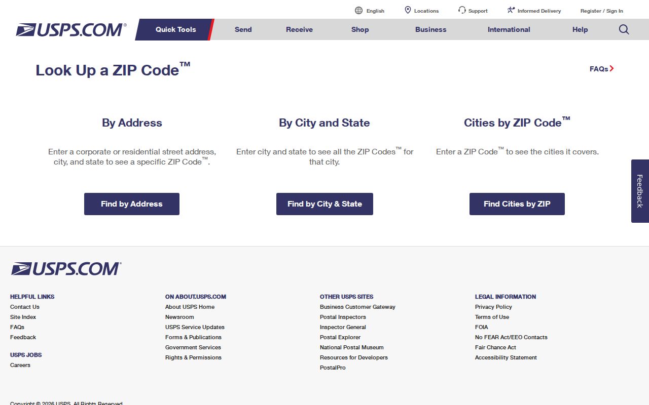
The USPS ZIP lookup is the source behind this address-check step. The image below is a visual reminder to verify the exact mailing line before comparing postal and county records.
That check is especially useful when a rural route, suite, or post-office identity makes a familiar city name look more certain than it is. Preserve the returned address as a source detail, not as a claim about every person connected to it.
Oroville ZIP Code to APN
After USPS verification, the county assessor supplies the parcel bridge. The Butte County Parcel Search accepts either an Assessor Parcel Number or a street address. It does not document an unrestricted owner-name search or a ZIP-wide resident mode, so an address or APN must lead. The county describes the APN as Book-Page-Parcel components. For example, APN 036-011-015 maps to Book 36, Page 01, Parcel 15.
| Assessor search field | How it is used |
|---|---|
| Assessor Parcel Number | Alternative text field; enter the Book-Page-Parcel form, such as 036-011-015. |
| Street Address | Alternative text field; vacant parcels may not have a street address. |
| Search | Submit the address or APN lookup. |
Visible parcel details include APN, property status, situs address, abbreviated legal description, land value, improvement value, exemption amount, and total assessed value. The result is tax-purpose evidence. It should be compared with a recorded instrument when the question is ownership, and with GIS when the question is adjacency or jurisdiction.
- APN
- An Assessor Parcel Number that identifies a tax parcel through its Book-Page-Parcel components.
- Situs
- The physical location label for the parcel, not proof that an owner or household member lives there.
- Legal description
- The recorded land description that can preserve continuity when a street name, route, or mailing line changes.
Note: A county parcel can anchor a postal search, but it cannot turn assessed value fields into a current household list.
Oroville ZIP Codes Versus City Limits
Postal city, incorporated boundary, county permit jurisdiction, assessor situs, and legal description are separate labels. A 95965 address can sit in a county-served part of the Oroville mailing area. A 95966 address can point toward Kelly Ridge, South Oroville, or Wyandotte without proving incorporation. Palermo's 95968 identity is nearby but distinct. The wider county includes communities such as Chico, Paradise, Biggs, Gridley, Berry Creek, Feather Falls, Forbestown, and Stirling City, each with its own postal and government context.
That is why a city-limit map and a parcel layer should be checked together. The county GIS map can show jurisdiction, parcels, roads, planning, zoning, flood, and supervisor-district layers. The city's district map can explain municipal geography, but neither map should be read as a people index. A person may receive mail through a PO box or a different mailing ZIP, and a parcel can lack a conventional street address.
Boundary check. Treat the postal line as a delivery clue. Use USPS for the mailing address, county GIS for parcel context, and the creating city or county office for the record itself.
- ZIP and ZIP+4
- The five-digit route identifies a broad delivery area; the added four digits narrow the delivery sequence.
- PO-box ZIP
- A postal identity used for post-office boxes rather than a neighborhood polygon.
- Unique ZIP
- A delivery code assigned to one large organization or special destination, not a normal residential district.
- Carrier route
- The route used for delivery operations within a broader postal area.
What Oroville QuickFacts Can Tell You
Census QuickFacts reports 20,042 Oroville residents in the 2020 census, 13.83 square miles of land, and a 2024 estimate of 19,712. Those figures describe the incorporated city, not every delivery address carrying 95965 or 95966. They are useful scale markers for a city directory, but they cannot be divided into postal households without a defined address list and a defensible boundary method.
The Oroville city QuickFacts profile should therefore be read alongside the Butte County QuickFacts profile. The county includes five incorporated municipalities and many unincorporated communities. Comparing the city and county pages makes the postal-area caveat visible: a delivery count would include places outside the city unless each address were checked against a parcel and boundary.
The same rule applies to family or local-history research. Population statistics can frame the size of Oroville, while an APN, a directory entry, a deed, or a public agency file supplies evidence about a particular place or person. One kind of number should not be used as a substitute for another kind of record.
Camp Fire Records and Oroville Parcel Continuity
The Camp Fire created a major continuity problem in the wider Butte County record landscape, especially around Paradise and ridge communities. A mailing address may change while ownership, an APN, and a recorded legal description remain the same. A rebuilt structure can have a new permit history on an older parcel. Conversely, a post-fire delivery line can reflect a new place of contact without proving that an earlier household moved, disappeared, or died.
For older or changed addresses, preserve the APN and legal description before comparing postal records. County permit instructions explain that unincorporated building documents generally begin in 1962, so older structures may require assessor year-built data, deeds, directories, Sanborn maps, and historical sources. The county permit-document instructions also show why an address or APN search is a better route than a broad postal query.
Note: After a disaster or rebuild, the APN can carry a property trail across changes that a current delivery line cannot explain by itself.
Limits of an Oroville ZIP Code Directory
No county source documented in the Oroville research offers a one-click resident roll for all addresses in 95965 or 95966. The recorder index is a party and document catalog, the assessor is an APN or address search, GIS is a spatial layer, and the voter portal is self-authenticated or purpose-limited. Each can answer a narrow question. None should be merged into a claim that every person in a postal area has been identified.
When a needed record is absent online, make a narrow request to the agency that created it. The California Public Records Act uses an identifiable record description, date span, department, address, or known record number; a broad request for all people in a ZIP is not a substitute for that detail. Butte County's public-record request portal is a documented fallback for county-created records, while Oroville-created files should go to the city channel.
A sound ZIP research trail keeps the USPS result, parcel number, jurisdiction check, and source document together. That record of provenance is more useful than a long unverified list, especially when the search touches a county edge, a rural parcel, or a post-fire address.