
Oroville Neighbors: Block Sources at a Glance
The public record around an Oroville address is spread across a parcel service, tax-purpose detail, agency case files, voter rules, historical directories, and public community contacts. The Butte County parcel layer is the spatial starting point. Each source below answers a narrower question than “who is nearby,” so the access note matters as much as the result.
| Source | What It Shows About a Block | Access |
|---|---|---|
| Butte County parcel GIS | Parcel polygons, APNs, touching parcels, and published owner or mailing fields | Free map and service queries; not survey grade |
| Assessor parcel detail | Situs, abbreviated legal description, status, values, and exemptions for a parcel | Free APN or address search; not a household roll |
| Permits, code, and land-use layers | Address-linked cases, planning context, and public documents where available | GIS, department request, or records request; jurisdiction-specific |
| California voter file | Registration, residence, precinct, and approved fields for a qualified purpose | Application under Elections Code section 2194; no casual block browsing |
| Reverse directories | Historical occupants organized by street and house number | Library and digitized collections; year gaps apply |
| Community contacts | Public officers, meetings, events, and contact routes | Public pages; no presumption of a private member roster |
A parcel owner, a mailing address, and a person who spends time at an address are different kinds of evidence. The map may expose an owner field, but it does not enumerate household members, minors, visitors, utility customers, or delivery recipients. A public result should be labeled by source and date rather than turned into a complete block profile.
Oroville Neighbor Lookup: Adjacent Parcels
Butte County documents a real parcel-browse workflow, but not a consumer radius or buffer tool for a block. Start with a known address or APN, then build a manual ring of polygons that touch the subject parcel. The GIS service and its companion viewer support a more careful process than a broad map guess.
- Use Search or the address and APN fields to locate the subject parcel. Zoom and pan until the parcel lines and street labels are clear.
- Open the Layer List and turn on parcels, addresses, city limits, planning, zoning, FEMA flood, State Responsibility Area, Williamson Act, supervisor district, permits, code, and land-use layers as needed.
- Use Identify or click each polygon that touches the subject parcel. Record every APN and note whether the line is a parcel boundary, road edge, or mapping artifact.
- Run the APNs through the county assessor detail one at a time. Keep the parcel, situs, and legal-description fields with the source date.
- Use Select, the attribute table, or export tools for a narrow set of features. Do not claim that an undocumented radius or buffer has produced a complete list.
The viewer also exposes Legend, Basemap, Print, Draw, My Location, coordinates, scale, overview, home, and fullscreen controls. Those tools help read the map, but a parcel polygon is an assessor-map representation rather than a survey. If the question expands from the immediate block to every address on a named street, use the Oroville street directory path instead of treating a manual ring as a street roll.
Oroville Neighbor Lookup: Assessor Detail
The Butte County Parcel Search and Assessed Value Lookup accepts an APN or street address. Its public description does not promise unrestricted owner-name or mailing-address browsing. A result is best used to confirm the parcel identity before a deed, map, permit, or public agency file is read.
Visible detail can include APN, Property Status, Situs Address, an abbreviated Legal Description, Land Value, Improvement Value, Exemption Amount, and Total Assessed Value. The APN connects a map feature to a tax parcel. Situs means the physical location of that parcel. An exemption can be a useful research clue, but it does not prove who is present now or who has ever been part of the household.
- Situs address
- The assessor's physical-location label for the parcel. It can differ from a tax mailing line or a postal identity.
- Book-Page-Parcel
- The three APN components that map an identifier such as 036-011-015 to Book 36, Page 01, Parcel 15.
- Legal description
- The land description used in recorded documents, including subdivision or metes-and-bounds language when applicable.
- Parcel detail
- Tax-purpose evidence about land and improvements, not a list of everyone connected to the address.
Compare the assessor result with the recorded instrument when ownership is the question. Use a court or vital record only for the separate fact that record is designed to prove. Keeping those roles distinct prevents a value field or mailing field from doing more work than the source supports.
Oroville Records for Nearby Occupants
One parcel can have an owner mailing address that points somewhere else, a trust or business name, a manager, or a post-office box. A person connected to a deed may not be the person who uses the address today. The GIS service publishes fields such as Owner_Add and CityStZIP, but those fields describe a record relationship and should not be treated as proof of present identity.
The same caution applies in reverse. A current person may not appear in a property record at all. The public parcel map does not enumerate informal household members, people staying briefly, protected participants, or anyone whose address is withheld by law. Public utility and DMV address data are not a lawful substitute. The right response to an uncertain name is a second independent source, not a guess from a shared street.
For family history or a safe reconnection, record the exact APN, document number, date, and source wording. Then compare a deed, directory entry, obituary, court index, or public agency file that has its own purpose. A matching name alone is not enough to join two records to one person.
Oroville Permits, Code, and Land Use
Parcel context becomes more useful when the permit and land-use layers are read with the correct jurisdiction. An incorporated Oroville address belongs with the city for city-created applications and public works files. An unincorporated address in the Oroville postal area may belong with Butte County Development Services and its eTRAKiT records. A code or planning case is tied to an agency file, not automatically to every person associated with the parcel.
County GIS descriptions identify planning, zoning, FEMA flood, State Responsibility Area, Williamson Act, supervisor district, permit, code, and land-use layers. Those controls can show why two touching parcels follow different agencies or rules. Search by address or APN, save the case or application number, and ask the creating department for documents when the map exposes only a summary.
For older structures, the county's building-permit record has a hard limit: unincorporated county building documents generally do not exist before 1962. An earlier block history may need deeds, assessor year-built information, reverse directories, Sanborn maps, or a narrow records request. A missing permit entry is not proof that an improvement never existed.
Oroville Voter Records and Block Limits
California My Voter Status is a self-authenticated service. A voter enters identifying information to view personal registration and election details; it is not a public name search for an Oroville block. A separate voter-file request is limited by Elections Code section 2194 and 2 CCR sections 19001 through 19012 to election, scholarly, journalistic, political, governmental, or approved record-review purposes.
The California voter-file request rules describe an application and fees, including a $100 statewide file and a $30 specific-voter request that is capped at $100. A qualified recipient may receive permitted fields such as name, date of birth, registration date, residence or mailing address, precinct, party preference, status, and district data. Driver-license or ID numbers, the last four Social Security digits, unique identifiers, and signature images are excluded.
Participation history shows an election date, type, and voting method, not a person's choices. Safe at Home and specified confidential registrations are withheld. Filtering an approved file by address does not broaden the approved purpose, and a casual visitor cannot turn the voter rules into a neighborhood directory.
Oroville Community Contacts for the Block
Community groups can add a human, public-facing layer to block research, but they should be approached through public contacts rather than mined for private rosters. The research did not locate an authoritative countywide Oroville HOA or association-member inventory. That gap is useful information: a public meeting, officer name, safety event, or contact channel is not evidence that every nearby household belongs to the group.
| Public channel | Useful signal | Limit |
|---|---|---|
| Chico Neighborhood Services | Municipal neighborhood resources and public contact routes | A nearby city example, not an Oroville roster |
| Fire Safe Councils | Public safety meetings, preparedness contacts, and community events | Do not infer membership or a private address list |
| Community organizations and congregations | Public office, event, or service information | Private member and household details remain outside the map |
Use a public contact to ask about a meeting, an announced event, or the correct office. Do not ask a volunteer to disclose a private roster. The same approach works for a block-watch or congregation: public contact information can support civic reconnection, while a private membership list is a different record and may not be open.
Note: No countywide association inventory was verified, so public contacts should be treated as community routes, not as a complete block directory.
Oroville Neighbors and Public Safety Records
Public-safety sources can add time-bound context, but they do not function as household directories. Butte County Sheriff public logs and booking logs report activity tied to dates or incidents. A booking is not a conviction, and any disposition should be checked against the appropriate court record. California Megan's Law has its own statutory-use warning and should never be used to watch, contact, or intimidate a person near an address.
The Butte County Sheriff-Coroner public logs show the proper local source for a public safety check. The linked image reflects the Sheriff's public-facing records route, while the source itself remains the place to confirm current access, dates, and agency limits.
The manifest's Sheriff-Coroner source capture shows the public-log route:
A log entry is a dated agency record, not proof about everyone at a parcel. Read it with the case number, date, and court source when a lawful personal question requires more context.
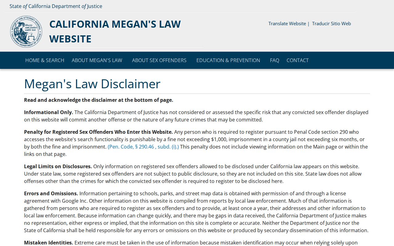
The California Megan's Law Website is a separate official registry with statutory restrictions. Its search modes and warning language should be followed as written. Public availability does not authorize surveillance, repeated unwanted contact, or a conclusion about a person who is not listed.
The manifest's Megan's Law source capture shows the registry route:
These sources belong at the edge of a block investigation, after parcel identity and lawful purpose are clear. They should not replace a deed, assessor result, court disposition, or direct agency confirmation.
Oroville Block History in Reverse Directories
Historical street and criss-cross directories can show who was associated with a house number before modern parcel tools existed. The CSU Chico and Butte County directory collection begins with an 1881 local volume and continues through selected Polk years to 1950. Alphabetical entries can supply a name and address; reverse pages change the access point to a street and house number.
Read the title page and abbreviation key before comparing entries. A 1933 Polk sample uses marks such as `h`, `r`, and `wid`, with occupations, firm names, business phones, rear-house notes, and address groupings. OCR can merge characters, and the archive has real gaps, including most years from 1882 through 1904 and selected years such as 1917, 1919, 1920, and 1925. A missing scan is a collection gap, not proof that a household vanished.
For a block near an older or rebuilt parcel, pair directory evidence with the APN, a recorded map, a deed, and Sanborn material when available. The Camp Fire makes that discipline important across Butte County: a rebuilt structure or changed mailing line can sit on the same parcel identity. Record the old and new address forms rather than forcing them into one current label.
Oroville Neighbor Lookup Privacy Limits
California Safe at Home provides eligible participants with a substitute mailing address and confidential registration protections. The program can also affect certain deed-related address disclosures under Government Code section 6209.5. The Safe at Home program information is the correct place to check eligibility and current procedures. A missing address is not an error to work around.
Lawful use. Use parcel and public-contact information for family history, civic awareness, reconnection, or personal safety. Do not use records to stalk, harass, intimidate, or harm a person; public availability does not authorize surveillance or repeated unwanted contact.
Protected participants, minors, informal household members, visitors, and people whose records are sealed or confidential will not appear as a complete ring around an address. Delivery accounts, utility data, and DMV information are not public alternatives. California Penal Code section 646.9 and other harassment remedies make the boundary more than a matter of good manners.
Camp Fire rebuilding adds another reason to keep the APN and legal description with every note. A current mailing line can change, a structure can be replaced, and a public record can remain tied to the same parcel. The safest block research stops at the source's lawful purpose, names what the record actually shows, and leaves private people outside the map.